Architecture
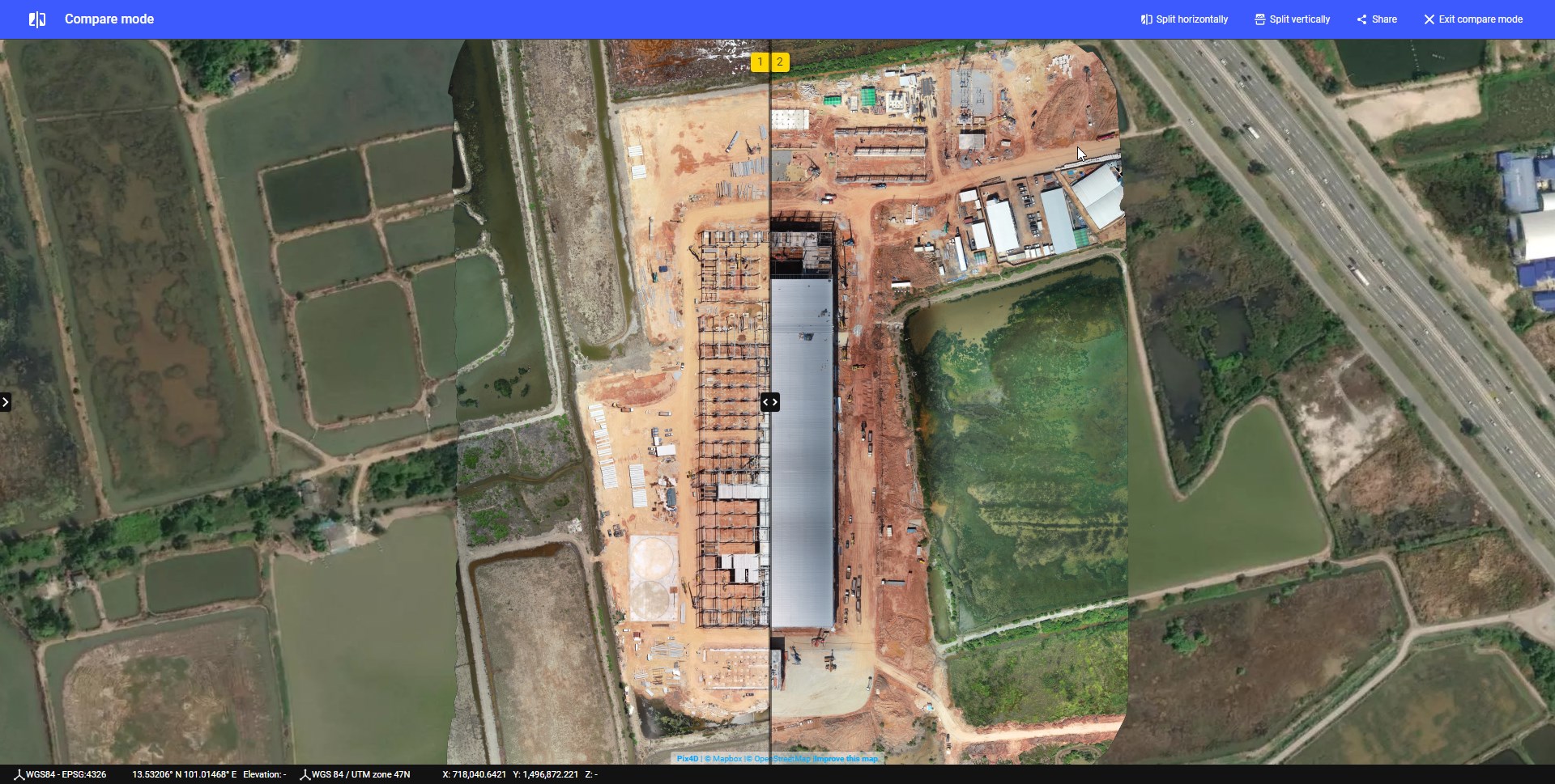
Drones provide construction teams with an overhead view of jobsites, materials, machinery and people. Contractors are using the autonomous flying machines to record images and videos that help optimize everything from grading plans and operations to identifying differences between as-designed and as-built site plans

Geo-referenced aerial images with resolutions down to less than 1 cm (0.4 in), which are transformed into point clouds with millions of data points for each single flight. Even more time can be saved by using the survey grade equipped with PPK (Post processed kinematics), which enables you to achieve absolute X, Y, Z accuracies down to 1 cm (0.4 in), with fewer to no Ground Control Points needed.