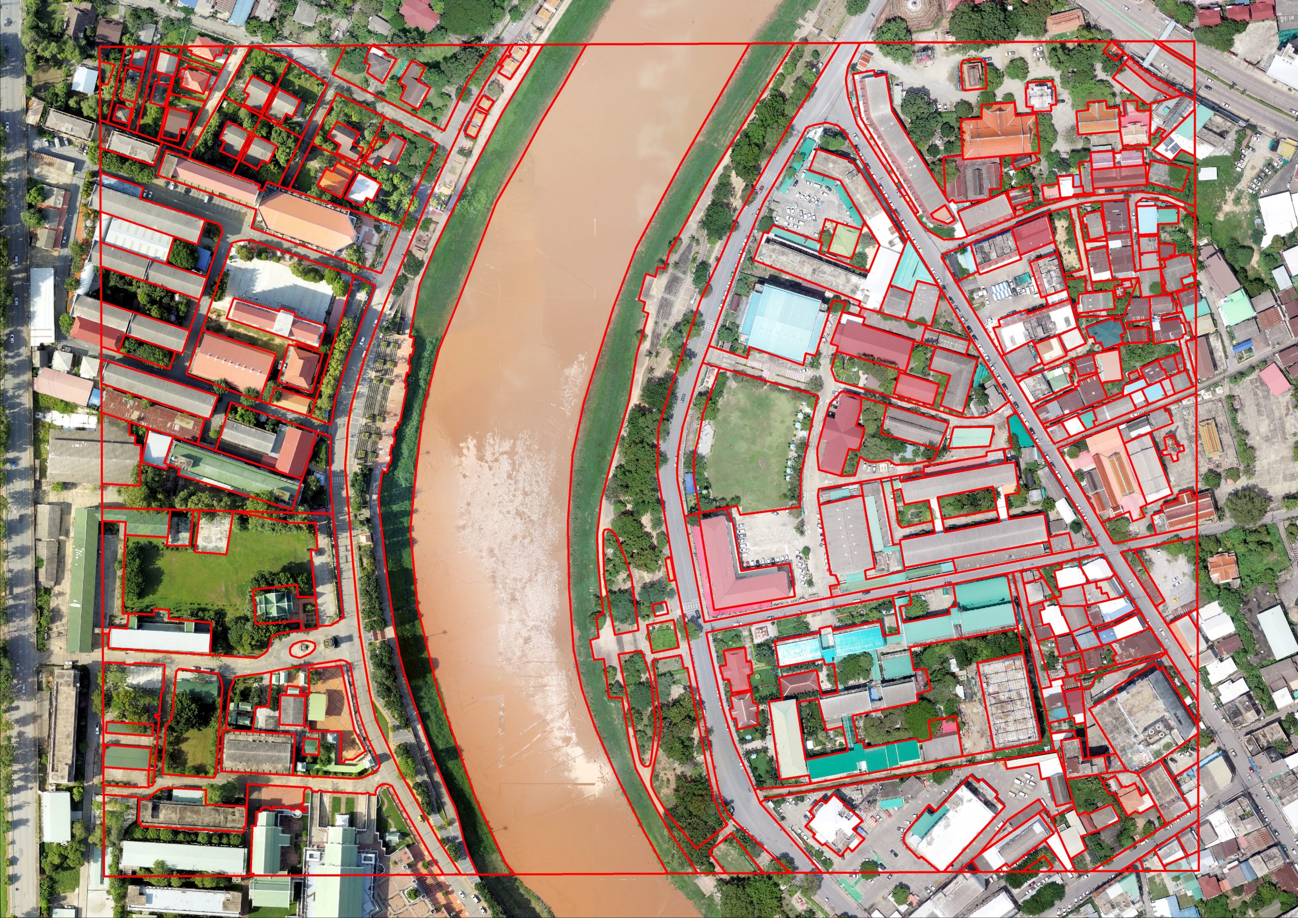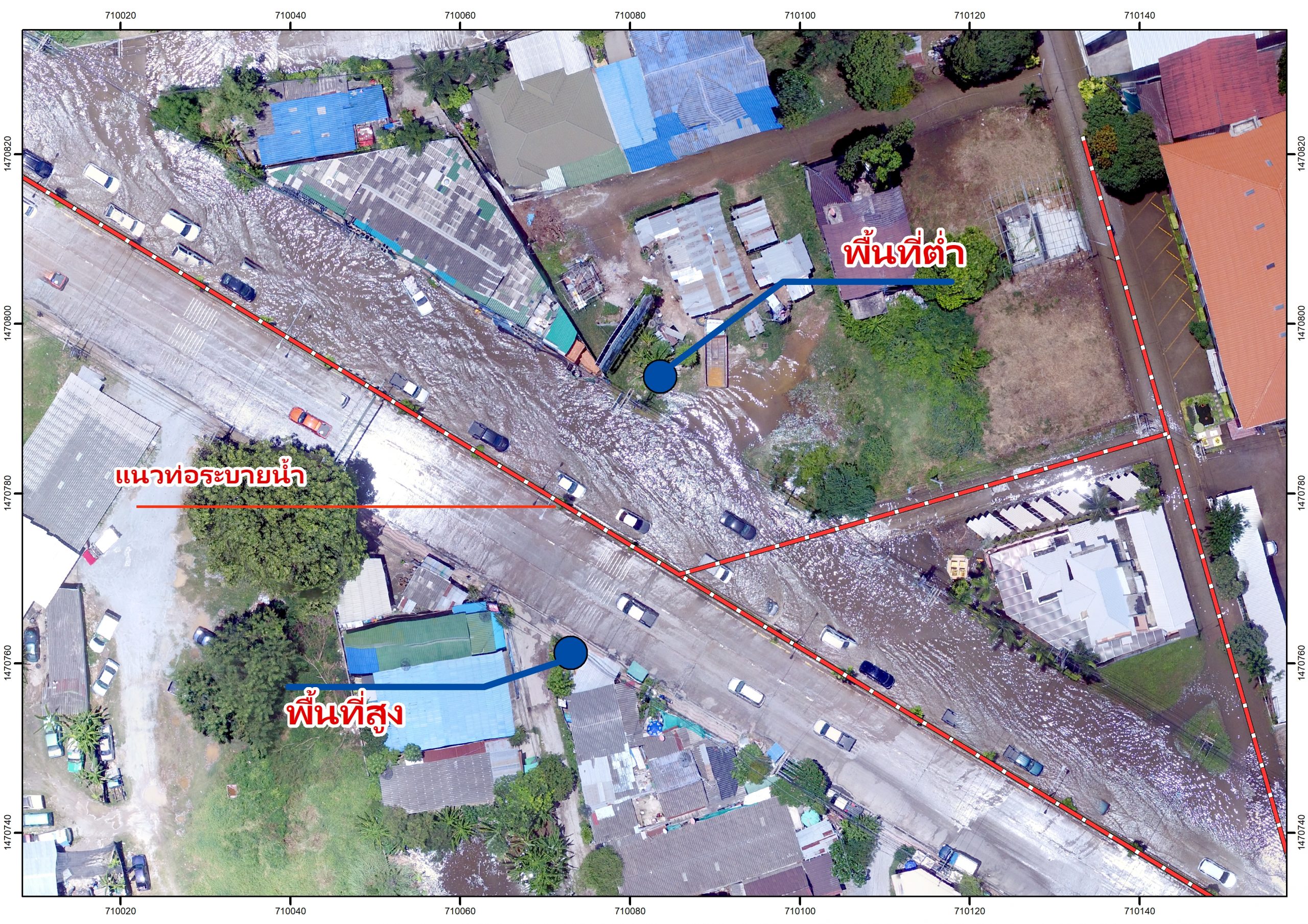
Drone data creates accurate 2D and 3D models that integrate seamlessly with local geographic information systems, helping teams visualize results.

Quickly take off and fly over cities or rural areas to capture data using automated flights, reducing costs and cutting fieldwork hours.
Create 3D models with accurate, geo-referenced data that can be readily fitted into the BIM models to visualize designs.
The 3D models generated using photogrammetry software are compatible with a variety of GIS software, streamlining the planning process.
